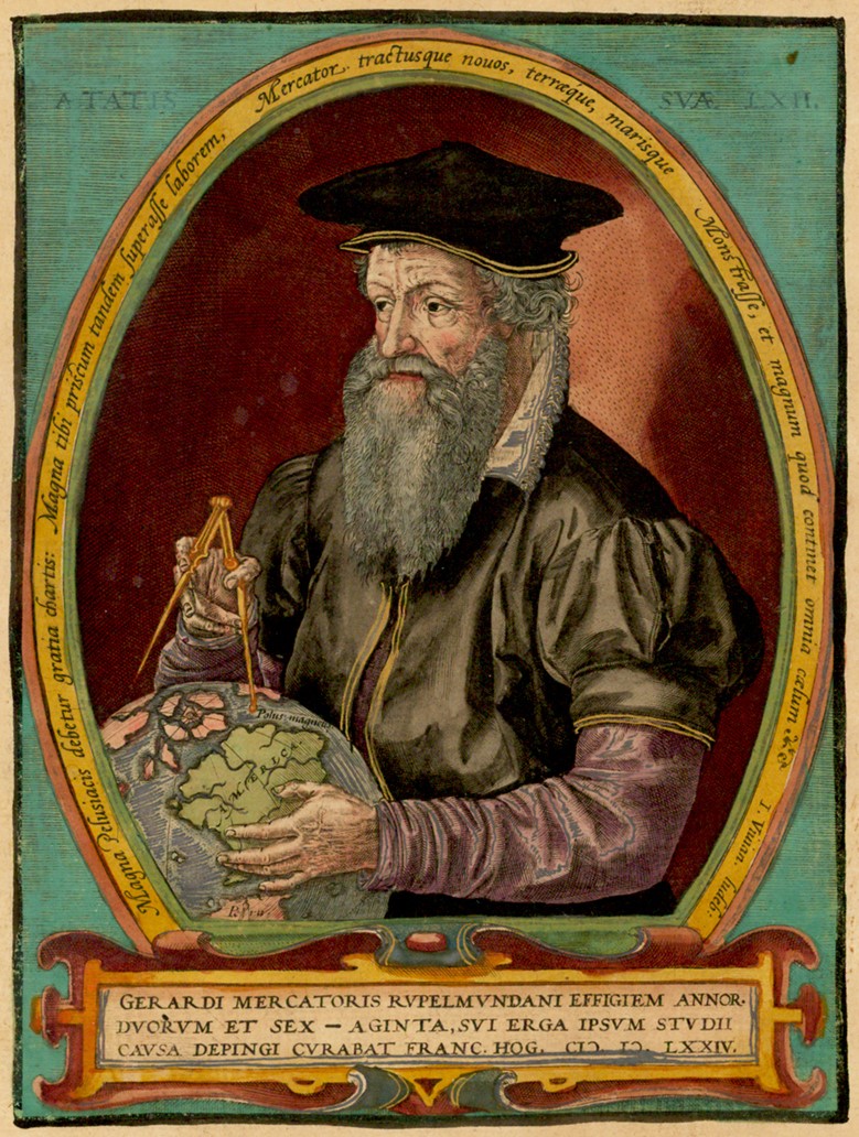
Gerardus Mercator

Gerardus Mercator was a 16th-century Flemish cartographer, geographer, and mathematician best known for creating the Mercator projection, a cylindrical map projection that became the standard for navigational charts. His innovative approach allowed navigators to plot straight lines on maps, significantly aiding maritime exploration. However, this projection distorts the size of landmasses, particularly near the poles, leading to misconceptions about the relative sizes of continents, which has sparked contemporary debates about its use in modern mapping.
Born on Dec 05, 1512 (513 years old)
Global Media Ratings
Countries Mentioned
| Country | Mentions | Sentiment | Dominance | + Persistence | x Population | = Reach | x GDP (millions) | = Power |
|---|---|---|---|---|---|---|---|---|
| Slovenia | 2 | 9.00 | 0.41% | +0% | 2,078,938 | 8,555 | $56,000 | 230$ |
| Dominican Republic | 1 | 7.00 | 0.23% | +0% | 10,847,910 | 25,169 | $89,000 | 206$ |
| Totals | 3 | 12,926,848 | 33,724 | $145,000 | 436$ |
Interactive World Map
Each country's color is based on "Mentions" from the table above.
Recent Mentions
 Dominican Republic:
Gerardus Mercator created his projection in 1569 to solve a practical problem of maritime navigation.
7
Dominican Republic:
Gerardus Mercator created his projection in 1569 to solve a practical problem of maritime navigation.
7
 Slovenia:
Gerardus Mercator designed the Mercator projection in 1569, which is widely used in cartography.
9
Slovenia:
Gerardus Mercator designed the Mercator projection in 1569, which is widely used in cartography.
9
Slovenia:
Gerardus Mercator, whose real name was Geert de Cremere, designed the Mercator projection in the 16th century.
9
 Hungary:
Gerardus Mercator created a revolutionary atlas in 1569 that has had a lasting impact on cartography.
7
Hungary:
Gerardus Mercator created a revolutionary atlas in 1569 that has had a lasting impact on cartography.
7
 Luxembourg:
Gerardus Mercator developed the Mercator projection in 1569 for navigation.
9
Luxembourg:
Gerardus Mercator developed the Mercator projection in 1569 for navigation.
9
Slovenia:
Gerardus Mercator created the Mercator projection in 1569.
7
 Bolivia:
Gerardus Mercator invented the Mercator projection in the 16th century.
5
Bolivia:
Gerardus Mercator invented the Mercator projection in the 16th century.
5